Laugavegur: Iceland's trek across colourful mountains, lava deserts and glaciers
Rhyolite mountains in every colour, obsidian fields, fumaroles and glacial rivers to ford. The Laugavegur is short in kilometres and huge in scenery, with a climate that does not forgive improvisation.
Route fact sheet
Laugavegur (Landmannalaugar – Þórsmörk)
Iceland · Southern Highlands (Fjallabak)
Indicative figures. Distances, elevation gain and times vary with variants, trail conditions and weather. Always check official information and the forecast before you set off. Official source: Ferðafélag Íslands (Iceland Touring Association).
- Distance
- 55 km
- Elevation gain
- 1,300 m
- Highest point
- 1,100 m
- Duration
- 3–4 days
- Difficulty
- Moderate
- Route type
- Multi-stage trek
- Best season
- Late June to early September (depending on hut opening and the state of the mountain roads)
- Start (approx.)
- Landmannalaugar
63.991, -19.061
Highlights
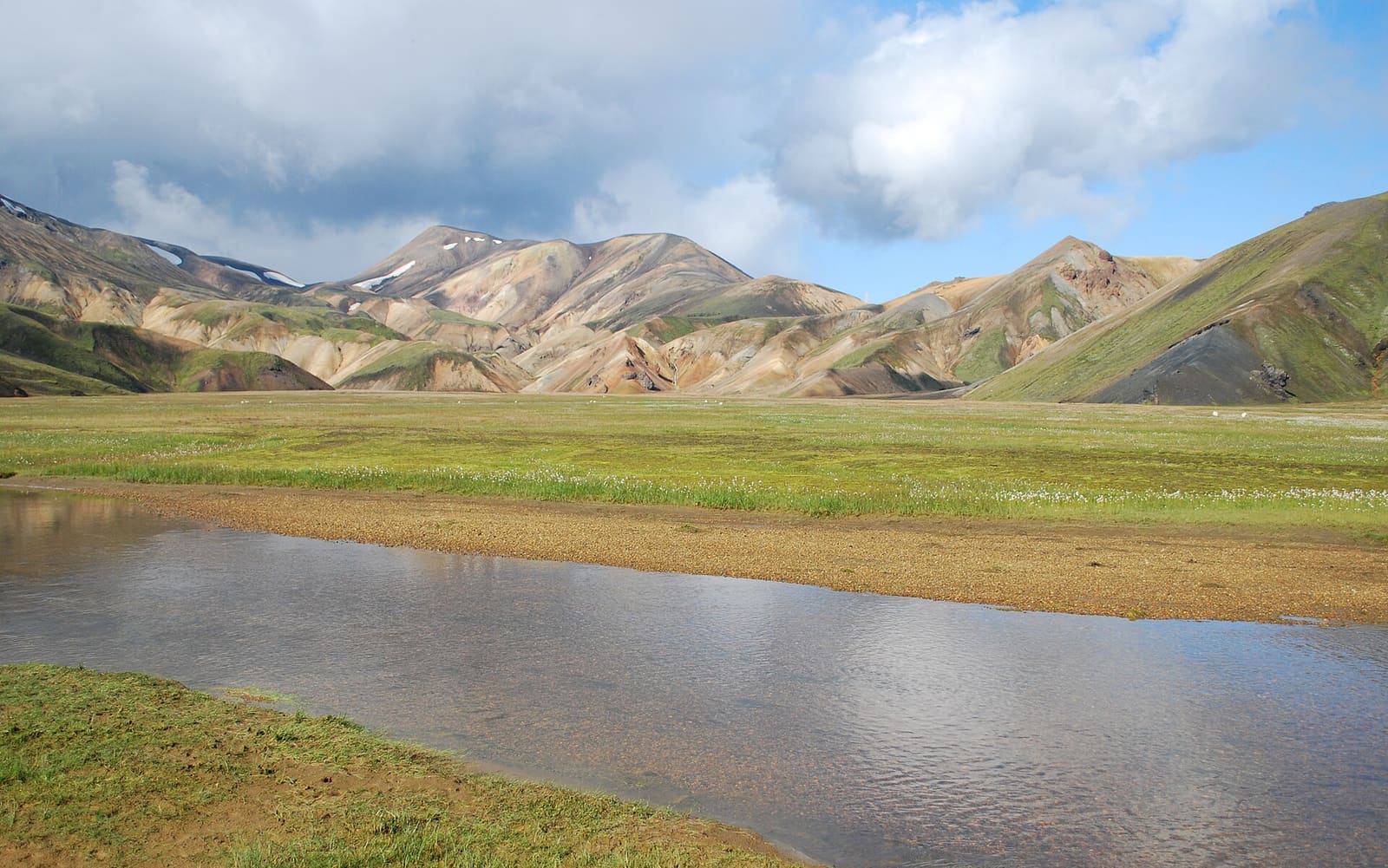
- Multicoloured rhyolite mountains and hot springs at Landmannalaugar
- Obsidian fields and fumaroles around Hrafntinnusker
- Views of Lake Álftavatn
- The black sand deserts of Mælifellssandur
- Birch woods and glacial valleys of Þórsmörk
Precautions
- Lingering snowfields and fog in the high sections: the risk of getting lost is real.
- Cold glacial river crossings: cross at marked points and never alone when the water is high.
- Wind and rain storms even in July: check Safetravel and the forecast before each stage.
- Geothermal areas: stay on the trails, the ground can be very hot or unstable.
Recommended gear
- Full waterproofs and warm layers
- Sandals or shoes for river crossings
- Poles (very useful for fording)
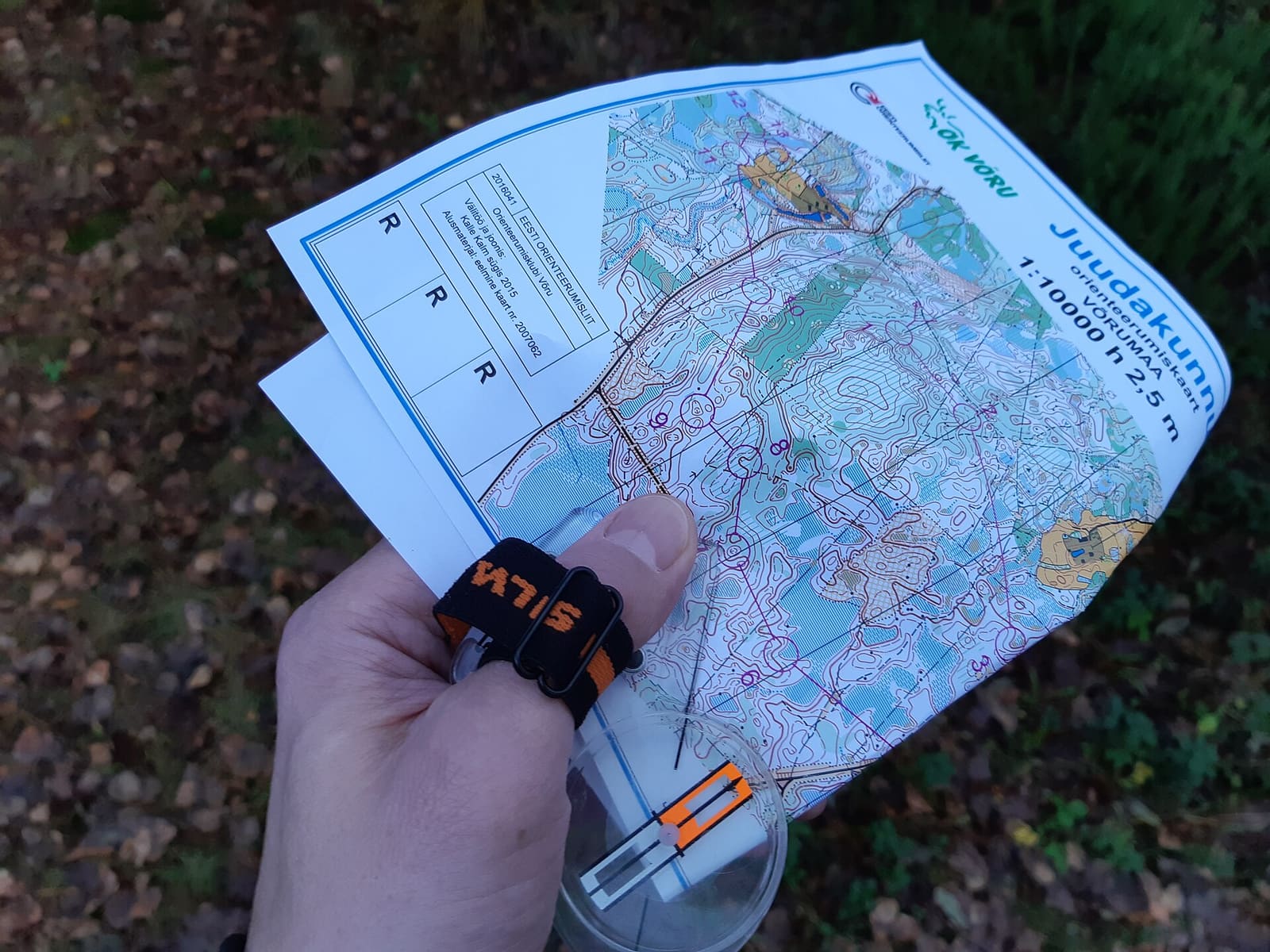
- Map or GPS track and compass
- A sleeping bag even if you sleep in huts
Map
Gallery
-
The rhyolites of Landmannalaugar. -
Álftavatn, one of the usual stops. -
River crossings are part of the route.
Some routes are long in kilometres and some are long in scenery. The Laugavegur, in southern Iceland, belongs to the second kind. In about 55 kilometres it crosses mountains of impossible colours, fumaroles, fields of black obsidian, ash deserts and green valleys dotted with birches. It is short, yes, but the Icelandic weather and the glacial rivers make it a trek you need to prepare seriously.
The essentials
- Start: Landmannalaugar, in the highlands.
- Finish: Þórsmörk, a valley between glaciers.
- Distance: about 55 km.
- Duration: 3–4 days, with nights in huts or authorised campsites.
- Common extension: many continue to Skógar over the Fimmvörðuháls pass, about 25 km more, next to the site of the 2010 eruption.
Suggested stages
- Landmannalaugar → Hrafntinnusker. A climb among rhyolites and geothermal areas; the highest stage, often with fog and snowfields.
- Hrafntinnusker → Álftavatn. Descent to the lake, with views of glaciers.
- Álftavatn → Emstrur (Botnar). Black sand deserts and the first major river crossings.
- Emstrur → Þórsmörk. Canyons, the Markarfljót river and arrival in the wooded valley.
The huts are mainly run by the Iceland Touring Association (Ferðafélag Íslands) and require booking, with high demand in July and August.
River crossings
Several glacier-fed rivers are crossed without bridges. Their flow varies with the weather, temperature and time of day: they are usually lower in the morning and rise in the afternoon with the melt.
- Cross at the marked points, unbuckling your pack’s hip belt.
- Wear sandals or water shoes, never go barefoot.
- Use poles and move facing upstream.
- Do not cross alone if the water is high: wait or get help.
In Iceland, the river you crossed easily at nine in the morning can be dangerous at five in the afternoon.
The weather
The season is short: access via mountain roads and the huts usually open from late June to early September. Even in midsummer you can meet wind storms, horizontal rain, fog and snow in the high section. Check the forecast and Safetravel alerts every day, and register your route on their platform.
In fog it is easy to get lost around Hrafntinnusker: carry a downloaded track and some knowledge of navigating without GPS.
Gear
Prioritise protection from water and wind, warm layers, sandals for the crossings and a suitable sleeping bag (huts do not always provide bedding).
A living volcanic land
The route crosses one of the most geologically active landscapes in Europe, with volcanoes such as Hekla and Katla nearby. Iceland is also going through an intense eruptive phase on the Reykjanes peninsula, which we cover in this feature. If the island interests you, do not miss our selection of natural phenomena you can see with your own eyes, led by the northern lights.
Sources and references
This is original editorial content based on the sources cited. Spotted a mistake? Let us know and we will fix it under our corrections policy.