The Cares Trail: the 'divine gorge' of the Picos de Europa, tougher than it looks
It is one of Spain's most popular hikes and looks like a stroll, but the path runs beside unprotected drops, with rockfall and a return that doubles the distance. Here is how to do it right.
Route fact sheet
Cares Trail (Poncebos – Caín)
Spain · Picos de Europa (Asturias and León)
Indicative figures. Distances, elevation gain and times vary with variants, trail conditions and weather. Always check official information and the forecast before you set off. Official source: Picos de Europa National Park.
- Distance
- 12 km
- Elevation gain
- 450 m
- Highest point
- 520 m
- Duration
- 3–4 h each way
- Difficulty
- Moderate
- Route type
- One way
- Best season
- Spring, summer and autumn; avoid days with heavy rain, ice or intense heat
- Start (approx.)
- Poncebos (Asturias)
43.259, -4.829
Highlights
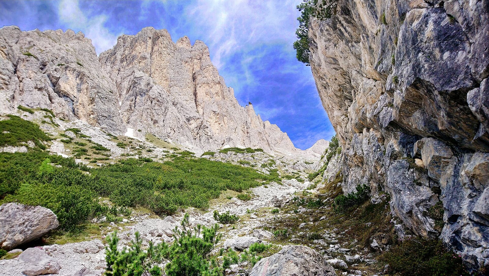
- The Cares gorge, with walls hundreds of metres high
- Sections of the water channel and tunnels carved into the rock near Caín
- Bridges over the river (Bolín bridge, Los Rebecos bridge)
- The village of Caín, in the heart of the massif
Precautions
- Unprotected drops along much of the route: take care with children and pets.
- Rockfall, especially after rain: do not stop where there are loose stones on the path.
- Intense heat in summer on the Asturian section: carry enough water, there are hardly any reliable springs.
- The return doubles the distance: without organised transport, allow 6–8 hours in total.
- No mobile signal on many sections.
Recommended gear
- Footwear with a good sole (the ground is stony)
- At least 1.5–2 litres of water per person in summer
- Cap and sun protection
- A headlamp for the tunnels near Caín
Map
Gallery
-

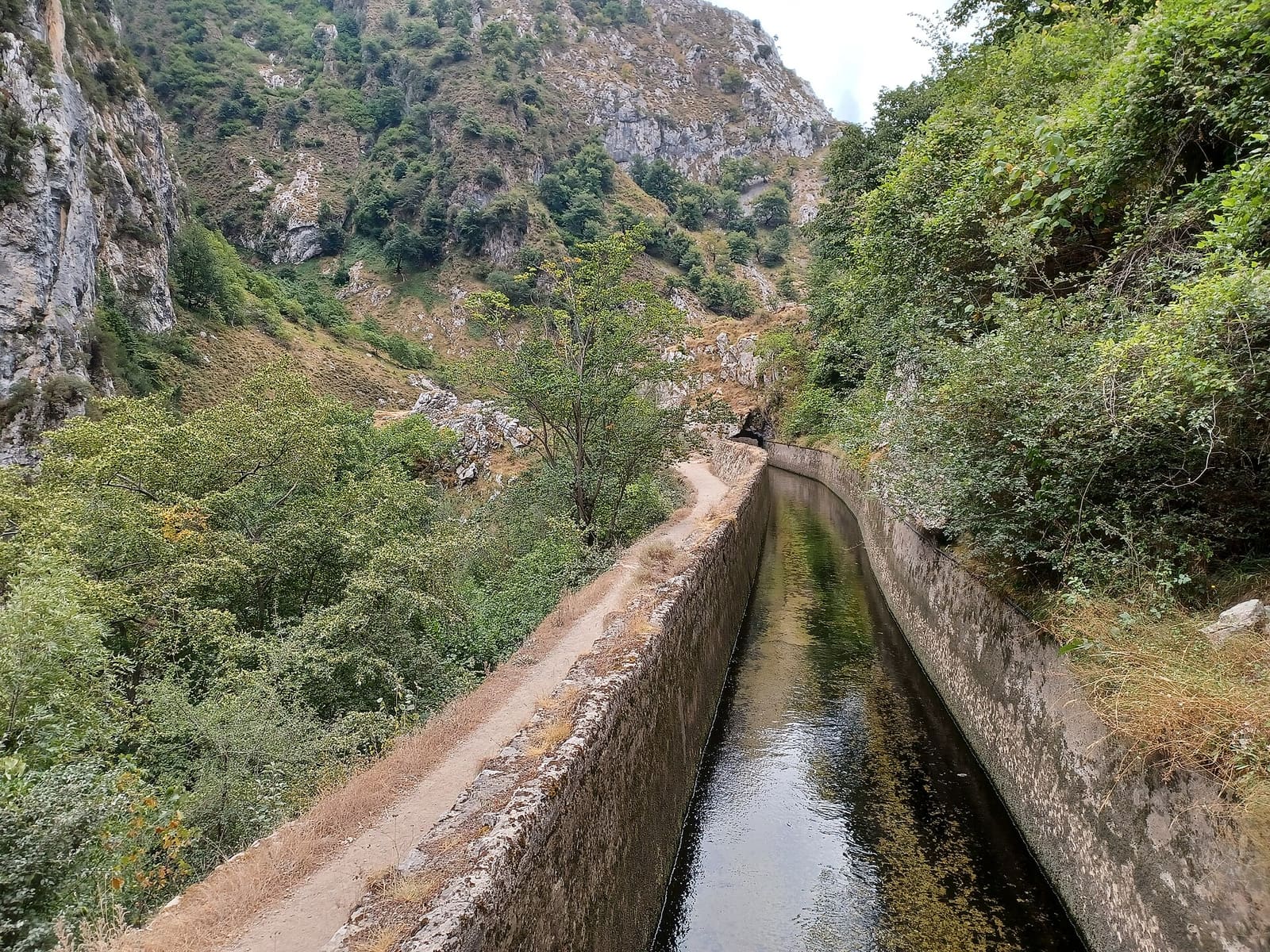
The path hanging above the river. -

One of the bridges across the Cares. -

Caín, at the end of the gorge.
The Cares Trail has a reputation as an easy outing, and in part it is: there are no big summits or climbing moves. But every year the Picos de Europa rescue services deal with incidents on this path, mostly due to falls, exhaustion, heatstroke or falling rocks. It is worth doing it with your head as much as with your legs.
The route
The path links Poncebos (Asturias) and Caín (León) along the gorge of the Cares river, which separates the central and western massifs of the Picos de Europa. Much of the path was built to maintain a water channel that carries water to a hydroelectric plant: that is why it is relatively flat in many sections and carved into the rock.
- Distance: about 12 km each way.
- There and back: about 24 km.
- Ascent: most of it is concentrated at the start if you set off from Poncebos, on a steep climb (known as Los Collados) that can be very hot in summer.
Where to start?
- From Poncebos (Asturias): a demanding initial climb exposed to the sun; after that the path is gentler to Caín.
- From Caín (León): you start with the most spectacular section, with tunnels and bridges, and the hard climb is left for the return (or the descent, if you finish in Poncebos).
Many hikers book taxi or transport services to return by road, a long journey because you have to drive around the massif. Arrange it in advance.
A path that is wide in places is not necessarily safe everywhere: on the Cares, a stumble in the wrong place can be very serious.
The real risks
- Unprotected drops. There are sections with a vertical drop right beside the path. Hold children’s hands and keep dogs on a lead.
- Rockfall. The walls shed stones, especially after rain or in icy conditions. Do not stop to rest below areas with recently fallen rocks.
- Heat. The Asturian section is very sunny. Carry plenty of water: here is how much.
- Fatigue on the way back. Many people only plan for the outward leg. Without transport, remember it is 24 km.
- Crowds. In summer and on holidays, passing groups on narrow sections calls for extra care.
Best time of year
Spring and autumn offer more pleasant temperatures and fewer people. In summer, start early. In winter, ice and avalanches in specific spots can make the route difficult or inadvisable: check with the park.
Practical tips
- Start early to avoid the heat and the crowds.
- Footwear with a good sole: the ground is uneven and stony.
- A headlamp for the tunnels near Caín.
- No signal on many sections: tell someone your plan.
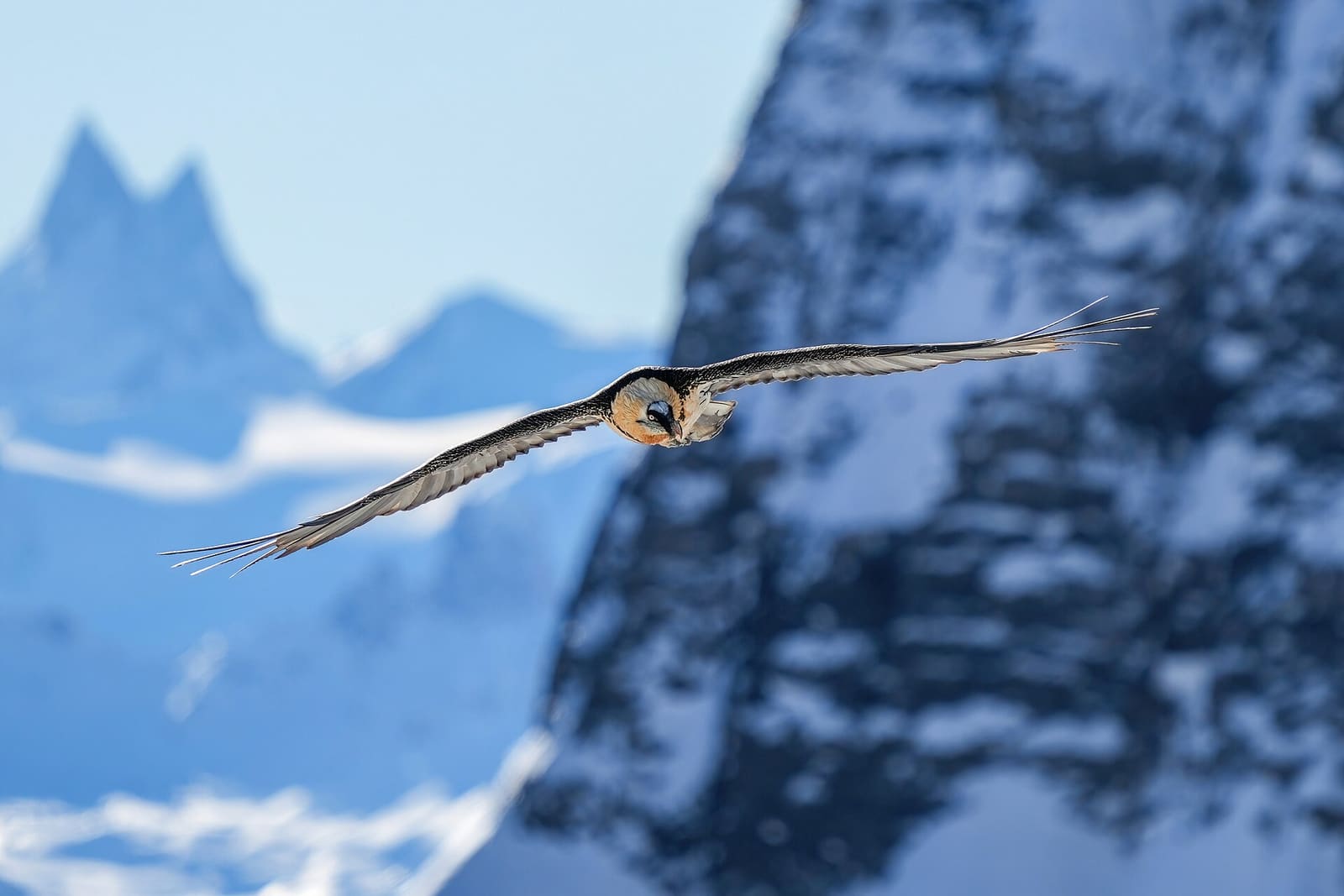
- Respect the wildlife: you will easily see chamois and vultures.
If this is your first substantial mountain hike, review how to prepare your first hike. And if you want more scenery like this, see our list of spectacular routes that need no professional experience.
Sources and references
This is original editorial content based on the sources cited. Spotted a mistake? Let us know and we will fix it under our corrections policy.